
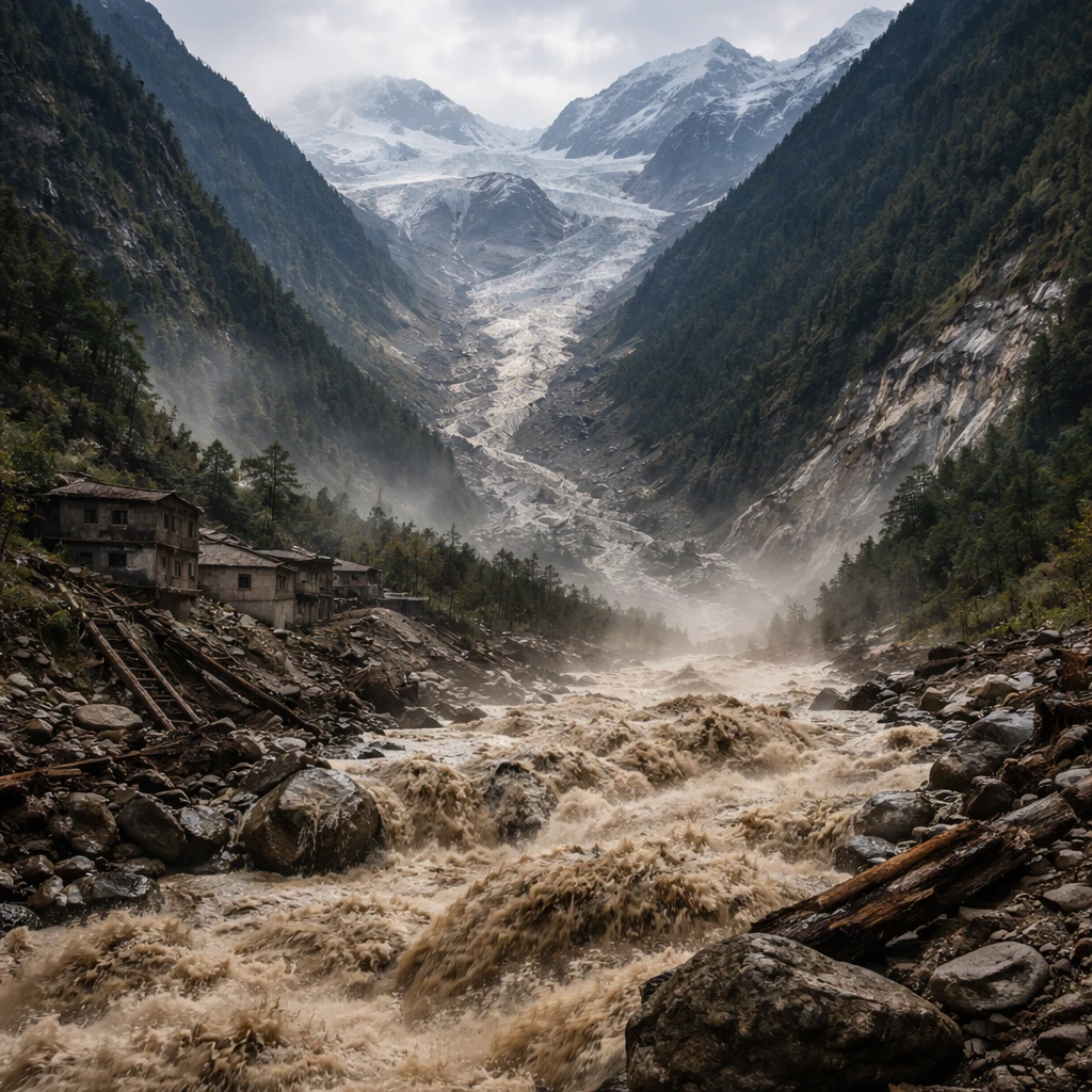
Satellite imagery reviewed by independent experts suggests that a substantial section of a glacier's lower snout collapsed, triggering a powerful flow of ice, rock and sediment that swept down a steep Himalayan valley and produced a deadly flash flood near Nepal's border with Tibet.
The precise trigger for the glacier collapse has not been established. Nepali officials have pointed to an earthquake recorded minutes before the disaster as a potential factor, but investigators have not reached a conclusion on whether seismic activity directly caused the event.
Rescue teams have recovered nearly 100 bodies so far, and Nepal's government has reported that more than 300 travellers remain missing. Authorities on both sides of the border have warned that the eventual death toll could be substantially higher.
Before-and-after photographs taken from space by Planet Labs, and examined by experts, show a mountainside that was green and vegetated prior to the incident now buried beneath a swath of brown debris and sediment.
Glacier snout collapse visible in imagery
"It’s confirmed that a substantial portion of that glacier snout collapsed to initiate the event - probably including or entraining a fair amount of rock and sediment," said Vikram Gupta, an engineering geologist who teaches at Sikkim University, after reviewing the satellite pictures.
Dan Shugar, an earth scientist and associate professor at the University of Calgary, said the imagery appeared to show a significant loss of snow cover on valley glaciers in the 24 hours before the flood. "Some of the glaciers in the valley were covered in snow yesterday and today they are mostly bare ice. So in other words (and I haven’t seen any weather station data yet), it was probably warm," he said.
The United Nations reported in 2023 that Nepal's snow-capped mountains had lost nearly one-third of their ice in just over three decades. The UN also noted that glaciers in Nepal melted 65 percent faster in the most recent decade compared with the preceding one.
Shugar estimated from the satellite images that the lower part of a glacier collapsed from roughly 5,200 metres and fell about 1,200 metres to the valley floor below. He added that construction activity could be a contributing factor and said whether climate change played a role would be investigated.
Local impact and official descriptions
Several hydropower projects are located in the areas hardest hit by the flood inside Rasuwa district, a mountainous region with a population around 50,000. Nepal's National Disaster Risk Reduction and Management Authority described the event as a "glacier-inclusive flood" that occurred in the Lhende River following a landslide about 20 kilometres northeast of a Nepal-China border crossing.
Early information suggested an earthquake in the area may have triggered an avalanche and the subsequent flood, but Prakash Pokharel, a geologist at the national authority who reviewed the Planet Labs images, said it remained unclear whether seismic activity initiated the disaster. "The flash floods were caused by an ice-rock avalanche on the Nepali side," he said.
The International Centre for Integrated Mountain Development said the Hindu Kush Himalayas are experiencing more frequent and intense floods, landslides, avalanches and droughts, noting that these accelerating changes to water, land and air present major threats to people across the region.
The centre added that the flood sent a forceful surge of water, sediment and large boulders through the Bhote Koshi and Trishuli river systems. Observers reported that water levels at the Galchhi area downstream rose by as much as nine metres within a 30-minute period.
Outlook
Authorities are continuing search and recovery operations while investigators analyse satellite imagery and other data to determine the chain of events that produced the flash flood. Officials, scientists and disaster specialists will examine whether local construction, an earthquake, short-term warming and longer-term glacier retreat each played roles in the collapse and subsequent flood.
The region's combination of steep terrain, populated valleys and hydropower infrastructure underscores the potential for rapid, high-impact events when glaciers fail or when landslides and avalanches enter river channels. For now, the immediate priorities remain locating the missing, recovering the dead, and assessing damage to lives, homes and energy projects downstream.