
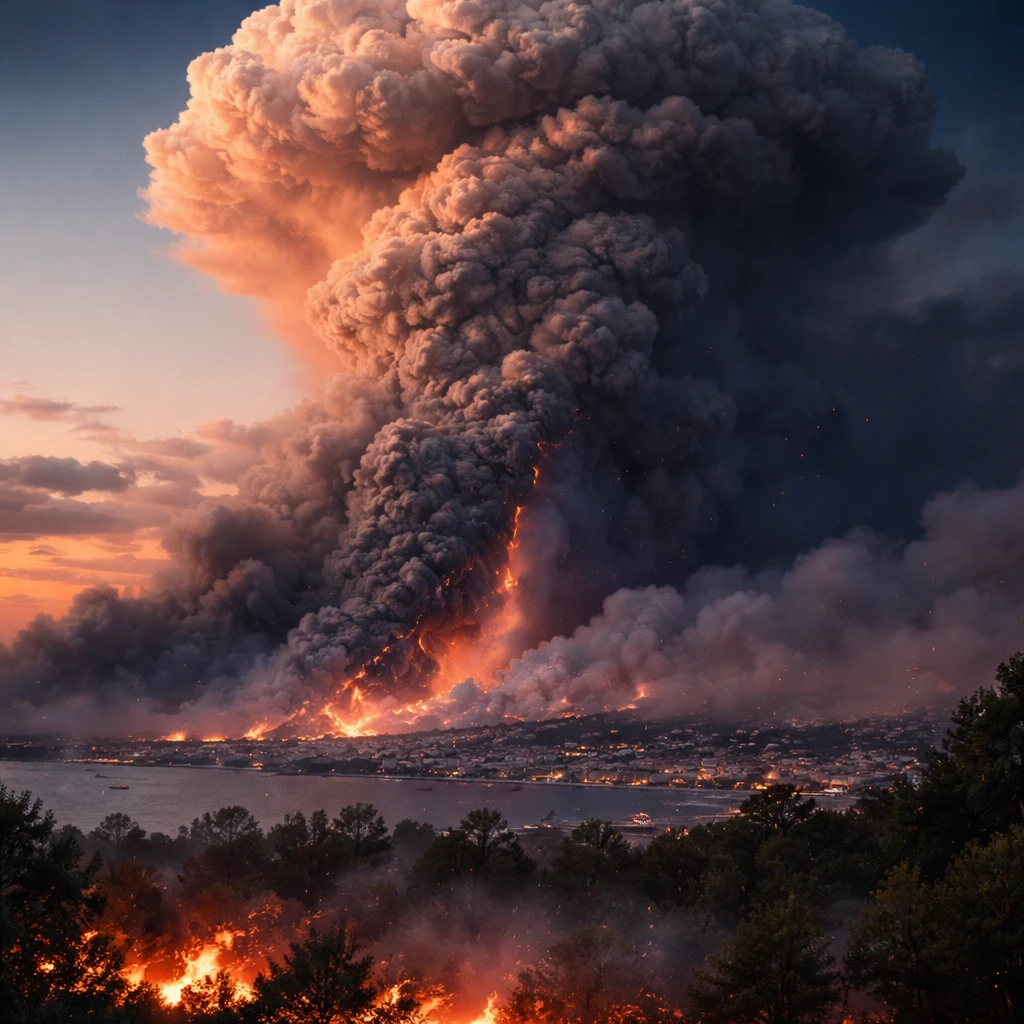
France is contending with an unusually severe wildfire season that has already prompted the evacuation of large numbers of people and posed a significant economic challenge during the peak tourist period. Beyond the unprecedented scale of the blazes, authorities say the fires have begun to display behaviour not previously recorded in the country, including the emergence of a pyrocumulonimbus - commonly called a "fire-cloud."
What is a fire-cloud?
A pyrocumulonimbus is a cloud formed above an intense wildfire when extreme heat carries smoke, ash and water vapour high into the atmosphere. The vertical column created by the fire lifts material into the upper layers of the atmosphere, producing a towering cloud structure. "You can think of it as like a chimney, which is a fire at the bottom and the smoke going straight up a chimney into the stratosphere," said David Bowman, professor of pyrogeography and fire science at the University of Tasmania.
While meteorologists can recognise the conditions that favour the development of such clouds, they lack the precision to forecast exactly when or where one will form, according to Jean-Christophe Vincendon, wildfire coordinator for the French national meteorological service.
How a fire-cloud changes fire behaviour
Pyrocumulonimbus formations can worsen a wildfire's danger and unpredictability in several ways. Their dynamics may create strong, erratic winds capable of shifting a fire's direction, and they can also produce lightning strikes that ignite additional fires some distance from the original blaze. When the buoyant plume of smoke and heat loses its energy, it can collapse back toward the ground in what is known as a plume collapse.
"When the plume collapses, it’s a showering of debris, burning debris," Bowman said.
Such collapses and sudden changes in fire behaviour complicate firefighting efforts and can force authorities to expand evacuation perimeters as a precaution, increasing the logistical burden on emergency services. Marc Vermeulen, head of the Gironde fire and rescue service, said the erratic nature of these outbreaks has required wider evacuation zones.
Local and regional implications
French authorities reported that a pyrocumulonimbus had been observed near Bordeaux, marking the first recorded instance of this phenomenon in France. The development of a fire-cloud adds an extra layer of challenge to an already critical emergency response, as unpredictable fire behaviour can undermine established containment and evacuation plans.
Professor Bowman warned that Western Europe may see more occurrences of this phenomenon, noting that pyrocumulonimbus events tend to appear in more extensive wildland areas elsewhere. "This is a very gravely serious milestone," he said. "It is fascinating, but it is also absolutely disastrous and terrible, and we just don’t want more of these things."
What emergency planners and residents face
Authorities and emergency services must contend not only with the immediate dangers posed by widespread fire and smoke but also with the complex, shifting risks introduced by fire-cloud dynamics. The potential for lightning-induced spot fires, sudden wind shifts, and plume collapses means evacuation orders and firefighting tactics may need rapid revision as conditions evolve.
For communities and regional economies already affected by mass departures and the disruption of tourism during a critical season, these developments represent an added complication in managing the human and economic impact of the fires.